
Stöbern
genialokal zum Startbildschirm hinzufügen
Installieren Sie die genialokal App auf Ihrem Startbildschirm für einen schnellen Zugriff und eine komfortable Nutzung.
Installieren Sie die genialokal App auf Ihrem Startbildschirm für einen schnellen Zugriff und eine komfortable Nutzung.
Tippen Sie einfach auf Teilen:
 Und dann auf "Zum Home-Bildschirm [+]".
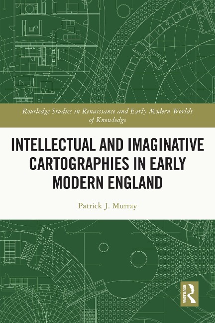
Taking as its focus an age of transformational development in cartographic history, namely the two centuries between Columbus's arrival in the New World and the emergence of the Scientific Revolution, this study examines how maps were employed as physical and symbolic objects by thinkers, writers and artists. It surveys how early modern people used the map as an object, whether for enjoyment or political campaigning, colonial invasion or teaching in the classroom. Exploring a wide range of literature, from educational manifestoes to the plays of Marlowe and Shakespeare, it suggests that the early modern map was as diverse and various as the rich culture from which it emerged, and was imbued with a whole range of political, social, literary and personal impulses. Intellectual and Imaginative Cartographies in Early Modern England, 1550-1700 will appeal to all those interested in the History of Cartography
Patrick J. Murray, PhD, is a researcher specialising in early modern literature. His primary research and teaching interests focus on the interdisciplinary interfaces of cartography, literary representation and cultural fashioning in the period 1550-1750.
Introduction: Weaving the Net / Chapter 1: 'they say the world's in one of them': The World of the Map / Chapter 2: 'Thou by thine arte dost so anatomize': Embodying the Map in John Speed and Michael Drayton / Chapter 3: Judging the Plot of Ireland in Spenser's A View of the Present State of Ireland / Chapter 4: 'There is none so good lernynge': Cartography and Cartographic Instruments in Early Modern English Educational Treatises / Chapter 5: Francis Bacon and Geographic Science / Chapter 6: Plotting Marlovian Geographies / Chapter 7: Wenceslaus Hollar's Cartographies / Conclusion: Mapping the Stars. And the Future
Dieses eBook wird im PDF-Format geliefert und ist mit einem Adobe Kopierschutz (DRM) versehen. Sie können dieses eBook mit allen Geräten lesen, die das PDF-Format und den Adobe Kopierschutz (DRM) unterstützen.
Zum Beispiel mit den folgenden Geräten:
• tolino Reader
Laden Sie das eBook direkt über den Reader-Shop auf dem tolino herunter oder übertragen Sie das eBook auf Ihren tolino mit einer kostenlosen Software wie beispielsweise Adobe Digital Editions.
• Sony Reader & andere eBook Reader
Laden Sie das eBook direkt über den Reader-Shop herunter oder übertragen Sie das eBook mit der kostenlosen Software Sony READER FOR PC/Mac oder Adobe Digital Editions auf ein Standard-Lesegeräte mit epub- und Adobe DRM-Unterstützung.
• Tablets & Smartphones
Möchten Sie dieses eBook auf Ihrem Smartphone oder Tablet lesen, finden Sie hier unsere kostenlose Lese-App für iPhone/iPad und Android Smartphone/Tablets.
• PC & Mac
Lesen Sie das eBook direkt nach dem Herunterladen mit einer kostenlosen Lesesoftware, beispielsweise Adobe Digital Editions, Sony READER FOR PC/Mac oder direkt über Ihre eBook-Bibliothek in Ihrem Konto unter „Meine eBooks“ - „online lesen“.
Schalten Sie das eBook mit Ihrer persönlichen Adobe ID auf bis zu sechs Geräten gleichzeitig frei.
Bitte beachten Sie, dass die Kindle-Geräte das Format nicht unterstützen und dieses eBook somit nicht auf Kindle-Geräten lesbar ist.